|
Welcome
Misc
Weather
D-Day
Desert
Storm
R/C
Models
Flight
Sim Files
Links

| |
D-Day
Beaches |
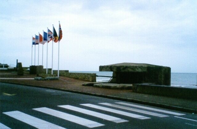
The following photos are from my recent trip to Normandie France, the D-Day
beaches.
We flew but weren't able to get any air photos as the weather wasn't very nice.
|
 |
 |
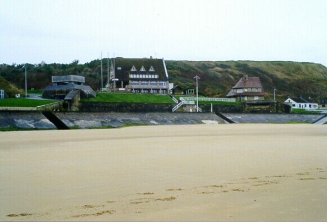
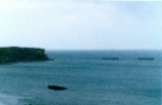
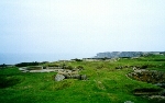
This is Bloody Omaha. |
 |
 |
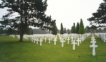 |
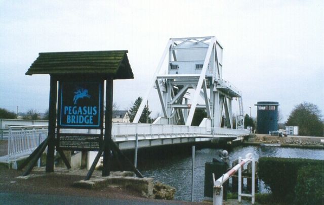
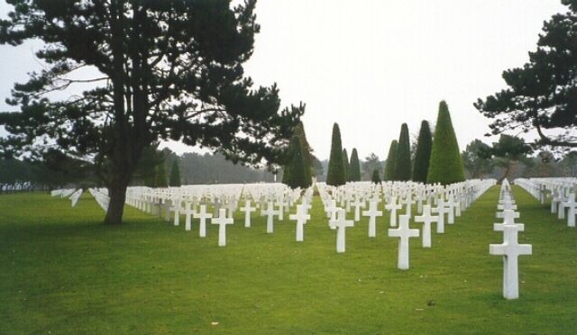
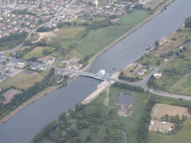
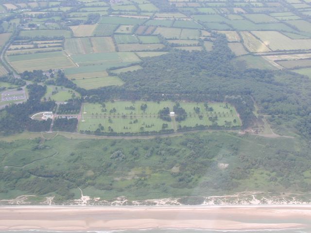
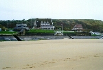
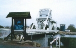
| Photo on left is the "Mulberry",
center photo is "Pegasus Bridge" and the right is the American Cemetary in
Normandie. |
 |
 |
 |
 |
 |
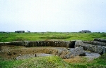 |
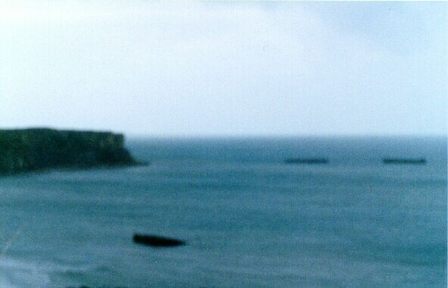
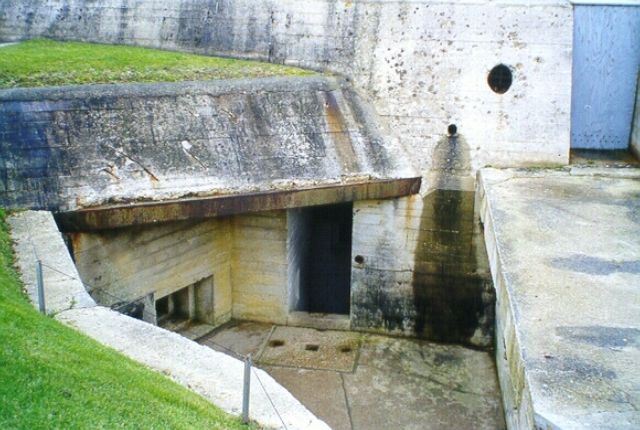
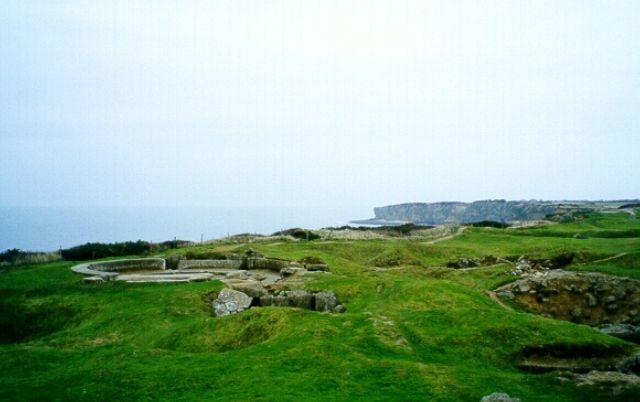
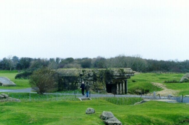
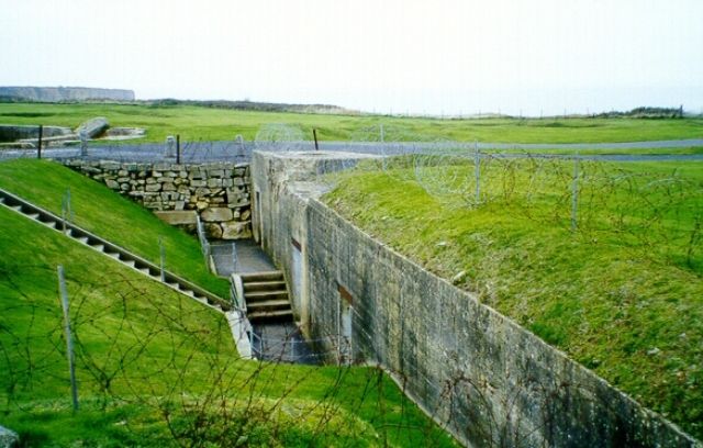
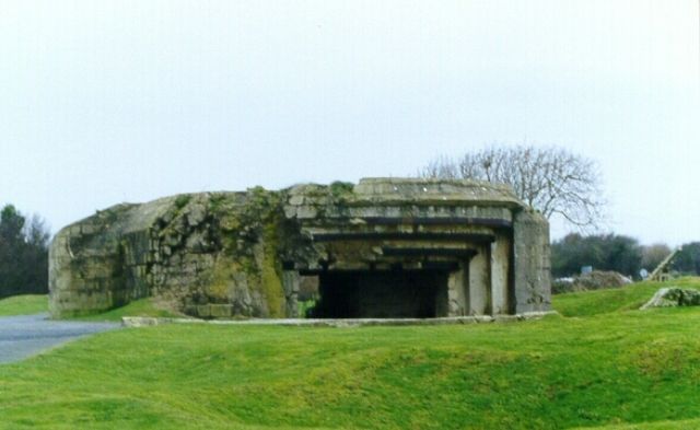
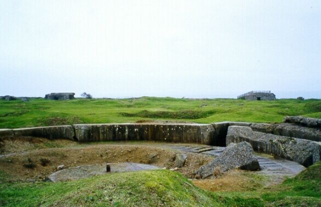
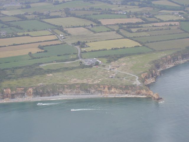
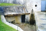
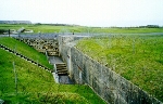
| The photos above are from Utah Beach located
at "Pont Du Hoc". Some big gun placements. |

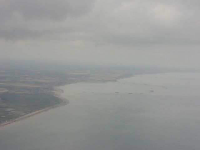
In July of 1999 I finally got to fly over the
D-day beaches on our way to the British Channel Island of Jersey. |
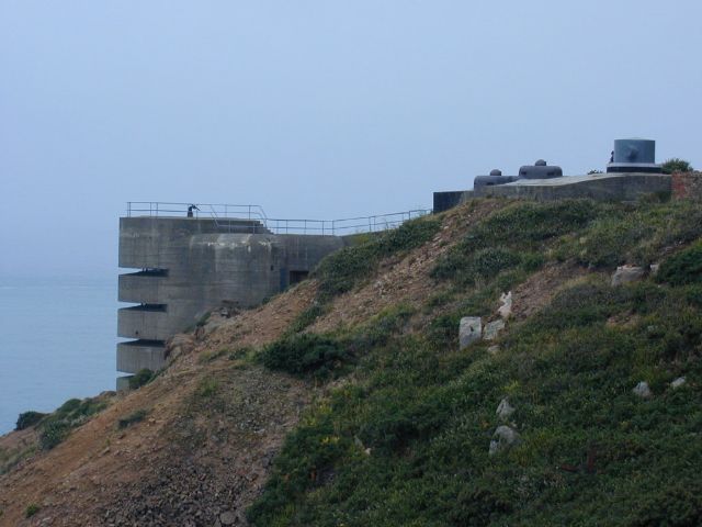
| This is the Mulberry, Pegasus Bridge, Point Du Hoc and the
American Cemetary from the air. The Mulberry is very impressive from the air.
The last photo is a fortification from the Occupied Channel Island of Jersey. |
|